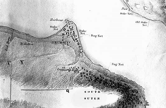
Cromarty Image Library

Old town map
The Cromarty Archive
Old town map

This map seems to show the West Church, which would date it in the late 1800s.
Picture added on 01 January 2003
Please add your comments about this picture using the form below.

Comments


Your Name


Your email address - this will be shown on the page and will allow the system to notify you of further comments added to this picture.


Maps

Map of Cromarty by A Fullarton & CoPrince Charles at the Courthouse MuseumCromarty Firth MapCromarty Firth MapMoray Firth MapShips Chart of Cromarty FirthOrdnance Survey Map - 1897Map of Cromarty - 1871Pont's Map - c1590New map of town