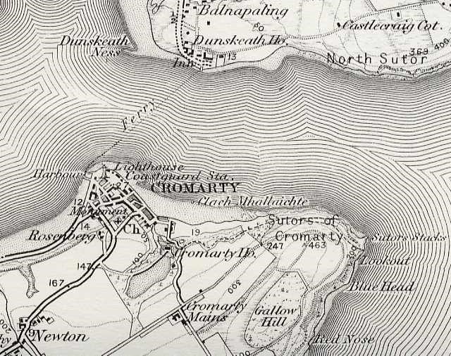
Ordnance Survey Map - 1897
The 1877 map shown on picture #544 shows houses to east of Clunes, which are not visible on this map.
Albums: Maps
Comments
Form Goes Here

The 1877 map shown on picture #544 shows houses to east of Clunes, which are not visible on this map.
Albums: Maps