Cromarty Image Library

Ordnance Survey Map - 1897
The Cromarty Archive
Ordnance Survey Map - 1897

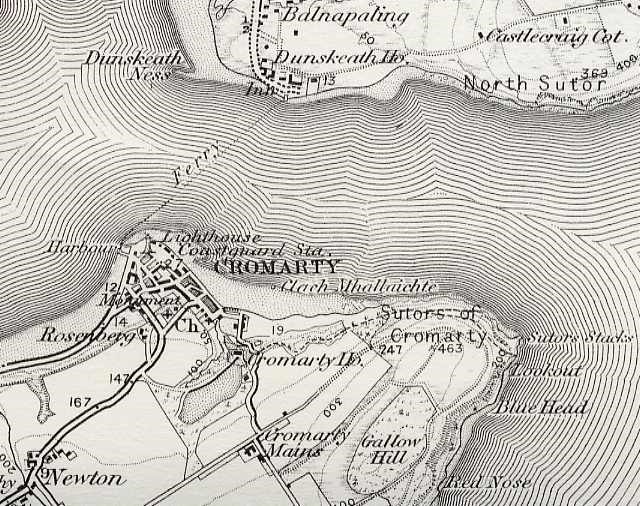
The 1877 map shown on picture #544 shows houses to east of Clunes, which are not visible on this map.
Picture added on 30 November 2003
Please add your comments about this picture using the form below.

Comments


Your Name


Your email address - this will be shown on the page and will allow the system to notify you of further comments added to this picture.


Maps

Map of Cromarty by A Fullarton & CoPrince Charles at the Courthouse MuseumCromarty Firth MapCromarty Firth MapMoray Firth MapShips Chart of Cromarty FirthMap of Cromarty - 1871Pont's Map - c1590Old town mapNew map of town