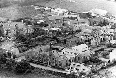
 Pic 83: Aerial shot of the School - c1950???
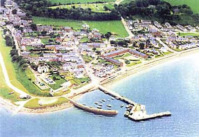 Pic 172: Aerial photo from above the harbour.
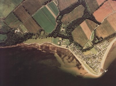
 Pic 176: Aerial view of the town from the East
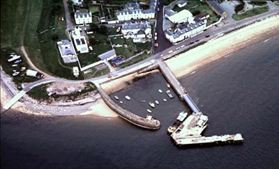
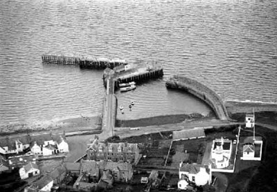 Pic 183: Aerial view of the Harbour
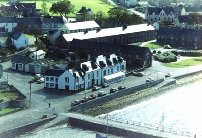 Pic 230: Aerial Picture of the Royal Hotel
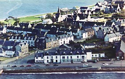 Pic 231: Aerial Picture of the Royal Hotel
 Pic 363: Aerial view of Harbour - 1998
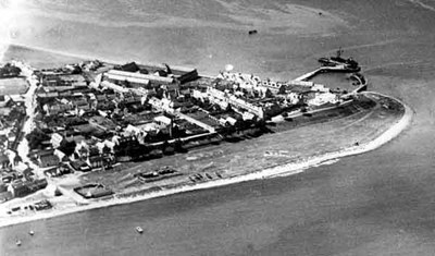
 Pic 381: Cromarty from the air - 26th July 1981
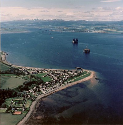 Pic 385: Aerial view of Cromarty - c1988
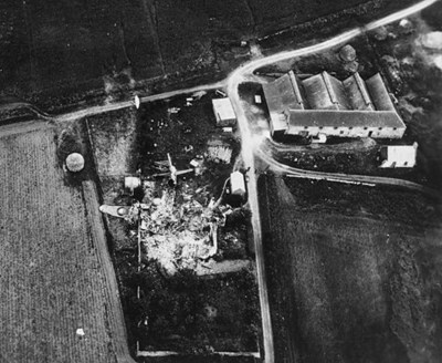 Pic 438: 'Plane crash at Allerton Farm - 1944
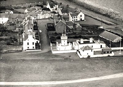 Pic 513: Aerial view of Lighthouse - 1974
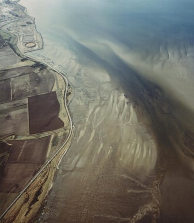
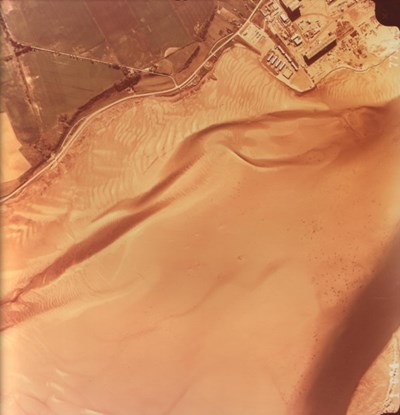 Pic 605: Nigg Sands 4th July 1977
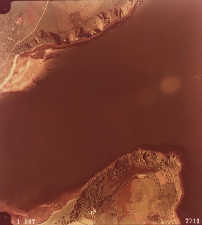
 Pic 606: Nigg Sands 1980
 Pic 607: North and South Sutors 1977
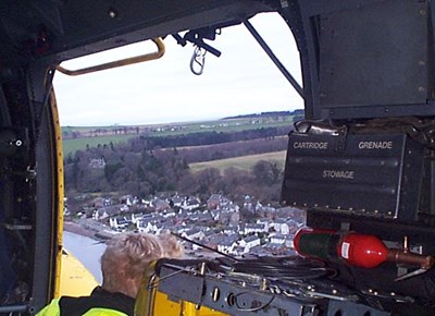 Pic 670: View from Sea King 137 above Fishertown
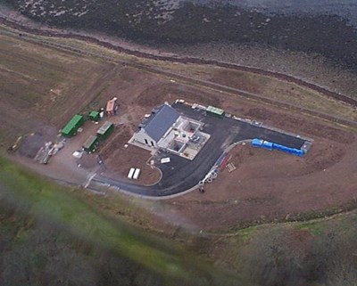 Pic 671: Sewage Farm from the air - 2004
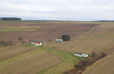 Pic 675: Aerial pic of Allerton Farm - 2004
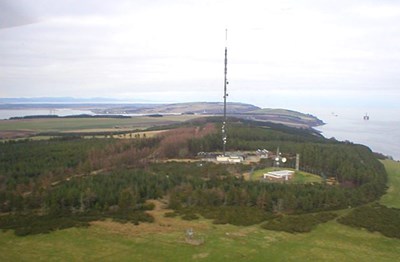 Pic 676: View of Eathie Mast looking north - 2004
 Pic 677: Aerial view from the West - 2004
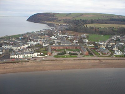
 Pic 678: Aerial view at East end of town - 2004
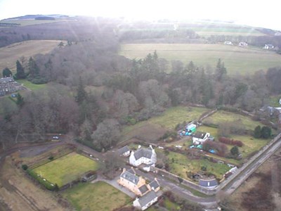
 Pic 681: Aerial view of Glenurquhart Farm - 2004
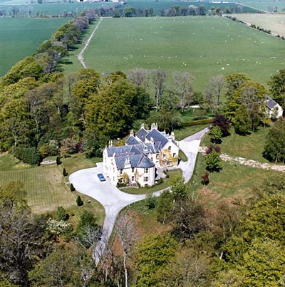 Pic 740: Pitcalzean House - c1974
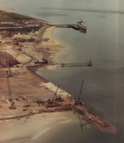
 Pic 769: Elf Platform being towed out from Nigg
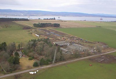
 Pic 770: Nigg Yard under construction - 26/6/1973