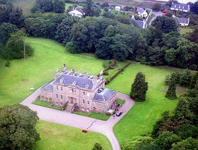
 Pic 890: Aerial view of Cromarty House
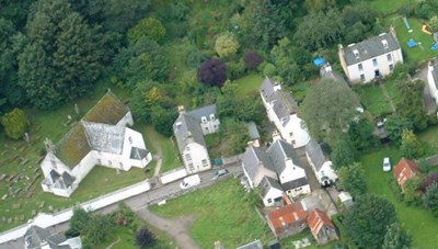
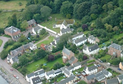 Pic 919: East Church and Church Street from the air
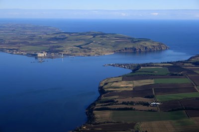
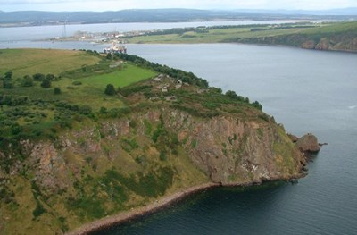 Pic 920: South Sutor and forts
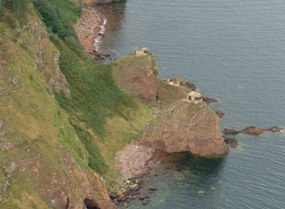 Pic 921: South Sutor Stacks
 Pic 922: East Church and Buzancy
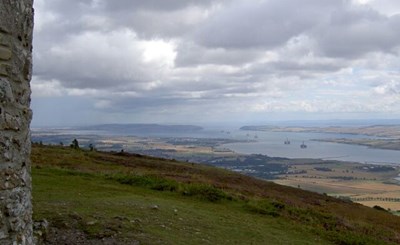 Pic 995: View from Cnoc Fyrish
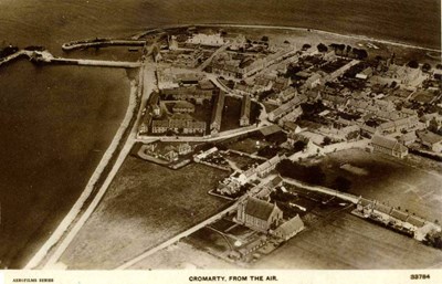 Pic 1019: Cromarty from the Air - c1935
 Pic 1026: Aerial view from North - 2002
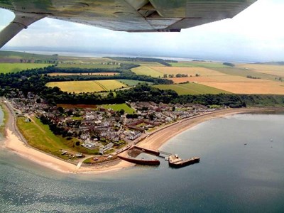
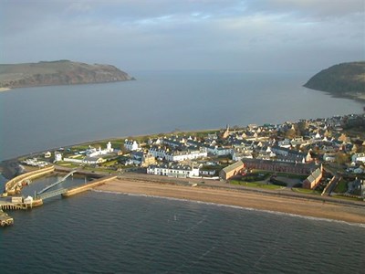
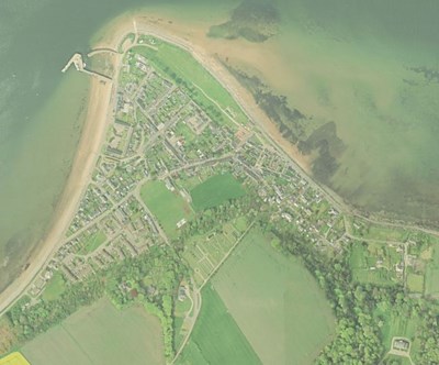
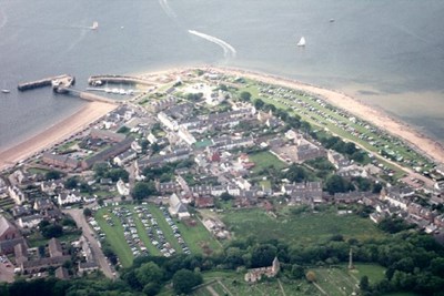 Pic 1240: Aerial pic of Cromarty
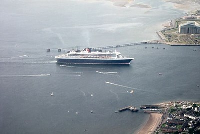 Pic 1241: Aerial pic of QM2
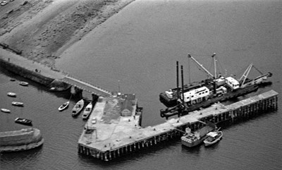 Pic 1285: Aerial view of Harbour - 1972
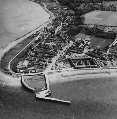 Pic 1361: Cromarty from the Air - c1962
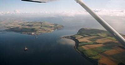 Pic 1400: Aerial View of the mouth of the Firth
 Pic 1417: Aerial view - 2005
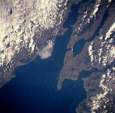 Pic 1420: Satellite Image
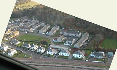 Pic 1450: Townlands & Bayview from the air
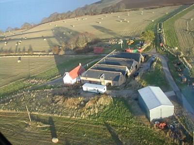 Pic 1549: Allerton Steading
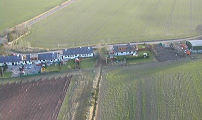 Pic 1550: Davidston Village
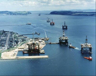 Pic 1580: Rig Conversion in the Queens Dock
 Pic 1681: An unusual aerial view of Cromarty
 Pic 1699: Satellite Image of Cromarty
 Pic 1891: Aerial pic of Cromarty and Nigg
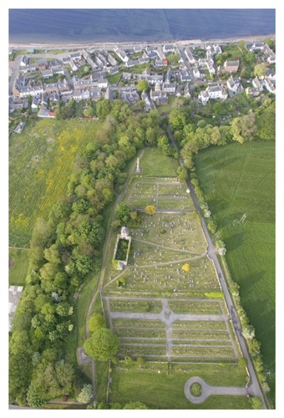
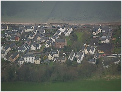 Pic 2145: Church Street and Fishertoun
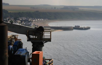 Pic 2225: Cromart Harbour from the Ocean Guardian